|
As you may know, North Bryson is...well, north, of South
Bryson. So, the travel directions are the same. Get to Hwy 380 as you see
fit, I-35 north to Denton, then 380 west, or 114 north to Bridgeport, then
380 west...well you know.
The difference is, that south Bryson is on the west side
of the town of Bryson, & N. Bryson is on the east side, as you come
into Bryson, you'll turn right, North, by the diner, there at the corner
of Hwy 380, & 1191. The track is on the left about a mile or so up the
road.
Click Here for a Mapquest Map.
Of course when you get to Mapquest you
can zoom in, zoom out, choose a printer friendly map, to take with you
etc. then just close the window, & you'll be back here. |
|
|
Description:
Now, I know that some of you out there don't care
too much for the property at N. Bryson, but since the promoter this time
is our favorite track supervisor, & expert flagmaster, Marty Cathey,
you might wanna come out & check this one out. North Bryson is a track that will get your
attention, I've seen this track in the wet, and I've seen it in the
dry...wet is better. There are some cool areas that will let
ya get yer hair blowin' as you go back & forth through some fields.
You can practice your high speed flat trackin' there. There are some woods
areas, but in the past, these haven't been too tight, but don't think for
a minute that it'll be smooth...it will not! Anyway, Marty's flyer
says that there's a new twist to this race. I don't know it that
means he's added a turn, or if we have to ride naked, but one way or
another, you need to come check this one out. Soil:
Soil ? I don't recall seein' any the last few
times I've been there. No. I'm just kiddin'. Though I do
recall a dead cow in the trail last year, that did provide a small jump,
and a small amount of traction. This place has a pretty
good mixture. Some hardpack in the woods areas up on the hill, but the
flat fields can get loose & dusty pretty quick. Down in the valley,
you'll find the discarded moon rocks from the last lunar mission...but
they'll be hidden in the sand, & silt. Be Careful! There has
been water there...once. Bring your desert tires...and your air
pump ! Unless it rains...oh well bring ALL of your tires !
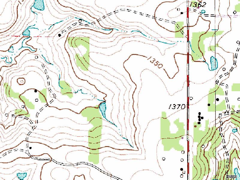
Elevation: As I've
mentioned, some of the track has been on the top of a plateau, & some
down in a valley...this means that there is of course some elevation
changes here & there, nothing too steep, or long, but it can
get...technical when you throw in the moon rocks.
Dust: We'll
hope for a little rain. Otherwise, daub some baby oil on the foam vents of
your goggles...and wear a respirator...and use three air filters...
Spectator Rating: Not
too bad. Up on the hill, of course the track practically runs through the
pits, & you can actually see some of the track that's down in the
valley from up there. It's not too bad gettin' down to the more technical
areas, & there are a few roads here & there.
Camping / Parking rating:
Again, not bad. There's lots of field up on the hill to pitch yer tent on,
& some treed areas around the west of the entrance. I've been there in
the rain once, & it took most of the Army to pull everyone out.
Normal Hours of Operation / Fees:
I've only seen this one open for races, & I believe it is on private
land, so hours of operation will be race weekend hours as usual.
Click Here for area weather from The
Weather Channel
|
|