|
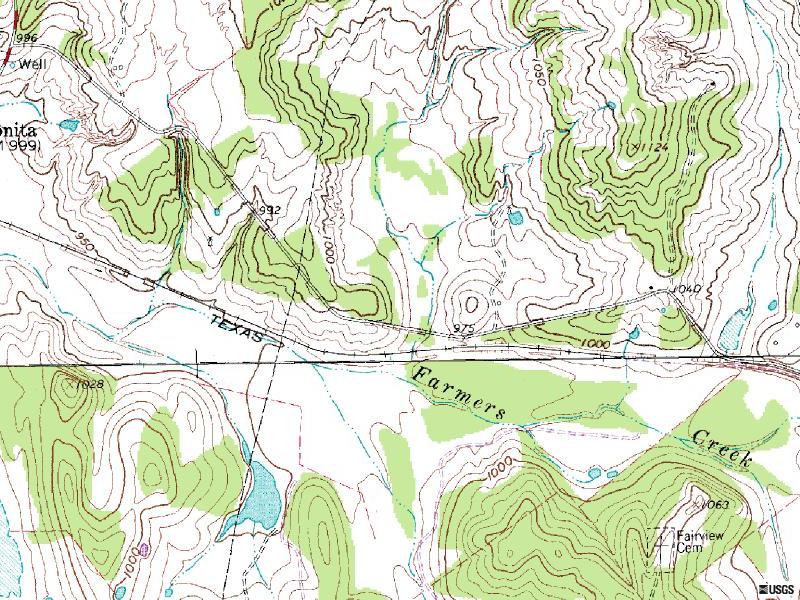
Well, for the most part ya go like you're going to
Muenster, which is to say up I-35 from Denton ( or Ft. Worth ), until
you get to Gainsville. Then take Hwy 82 West towards Muenster, only
you'll go through Muenster, & continuing on Hwy 82, you'll pass
through Lindsay, & St. Jo. Then about five miles past St. Jo, you'll
see 1815. That's your turn, right.
Of course some of you may want to come up 287 north
to, oh, say, hwy 59, & head off north east towards St. Jo, and
then pick up Hwy 82 west to 1815.
Now, after about three fourths of a mile, 1815 kinda 'jogs' off to the right, and I think
they call it Old Bonita Rd. there. At any rate, you'll stay to the right
toward Bonita ( but you'll still be on 1815 ), & as you leave town (
don't miss it ), on 1815 now going north, you'll see Talley Rd on your
right, about a quarter of a mile past town, turn right there. I guess it's about one & three quarters mile
down that road to the track.
Click Here for a Mapquest Map.
Don't forget that you can zoom in or out,
& print this map as needs be. |
|
|
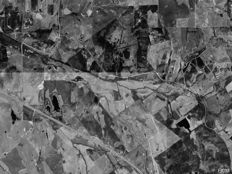
Description:
I've been told that this track is about the same as
last years track, with the exception being that Dan has cut out the last
mile or so of the track that used to be the barrel / start
area. ( something to do with the rain ) This one
is one of my favorites, long high speed straights, deep sand whoops, with
just a touch of air-time for fun. Dan took a bull dozer around the whole
track last week, & smoothed it out, but the recent rains may have left
some rain ruts. The ponds are probably gonna be high, & we may
have to skirt around the edge of some of them, tray to stay out of the
water, & we'll all have a few less mud holes!
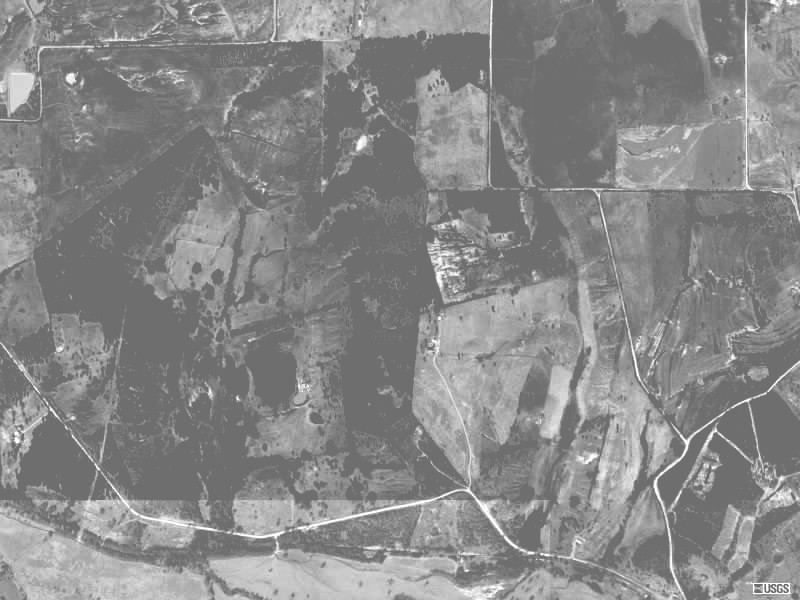
Soil:
Sand, & lots of it.
Elevation:
Nothing real drastic out here. A few ups & downs, but no big hills to
climb, or huge down hills to negotiate.
Dust:
Not this time. it's supposed to rain again on Wed. & Thur. &
maybe even Friday. The only thing is, this track soaks up water
pretty quickly so I could see mud holes around the ponds, & dust in
the open straight-aways.
Spectator Rating:
Pretty good. Most of the areas out are accessible by foot, at least by
four wheeler.
Camping / Parking rating:
Camping & parking have always been good here, but remember, if there
is a lot of rain...well you know, bring your tow chains.
Normal Hours of Operation / Fees:
Of course the normal TCCRA fees will apply here, & as this is private
property, it will probably only be open for the race.
Hotels
I'm not sure, but the last time I went to Bonita, the closest hotel was
back in Muenster. However, Donna Cox tells us that there are two decent
places in Nacona ( west of Bonita ) The nacona Inn @ 940.825.8800. And
Nacona Hills Inn @ 940.825.3161 about $45 a night- single,
King, No smoking, room.
Click Here for area weather from The
Weather Channel
Don't forget that you can
scroll down to see a radar image and a moving radar image as well, once
you get to the weather channel.
|
|